Strathblane to Fort William
Leaving the Lowlands, heading into the Highlands
Setting out from Strathblane on a sunny but chilly morning at the end of March I was filled with nervous excitement. Ahead of me lay 150km of the iconic West Highland Way – a well trodden route through some of the most spectacular landscapes in Scotland but also my longest section of the walk so far and through challenging mountainous terrain.
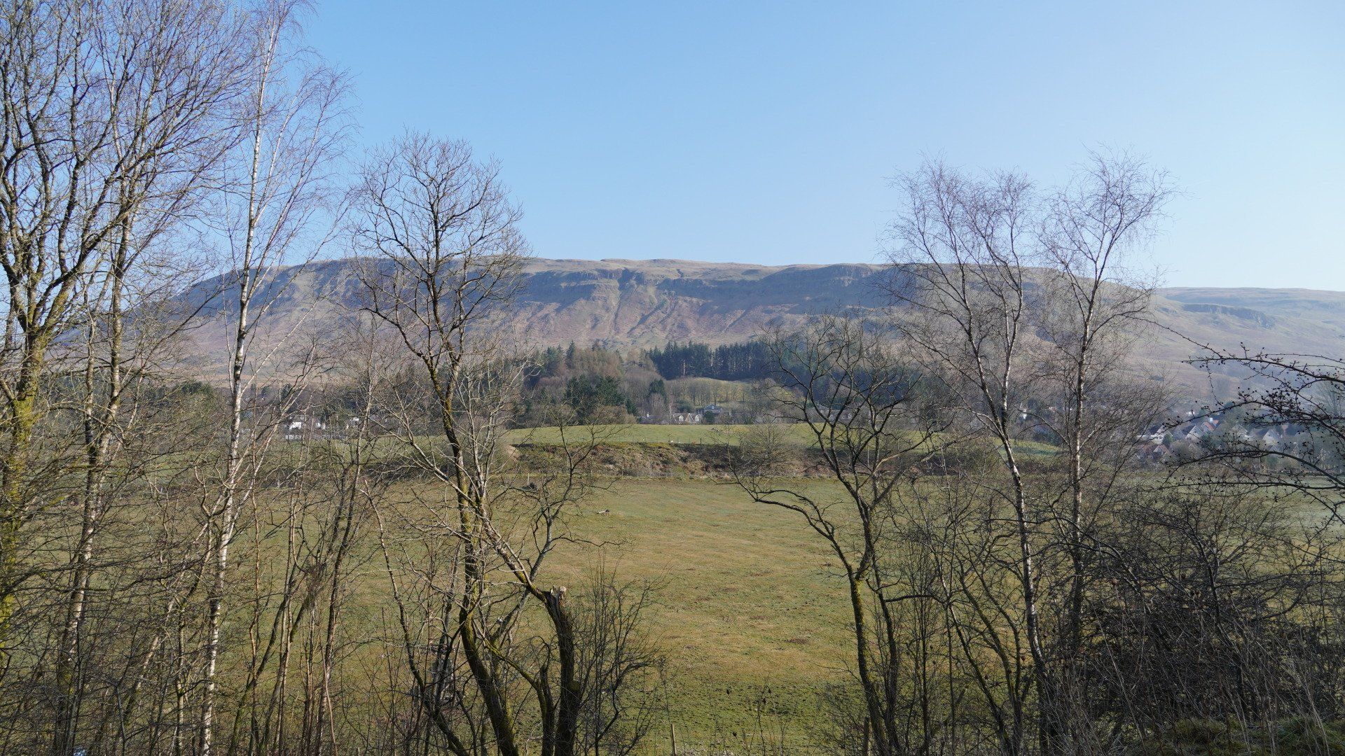
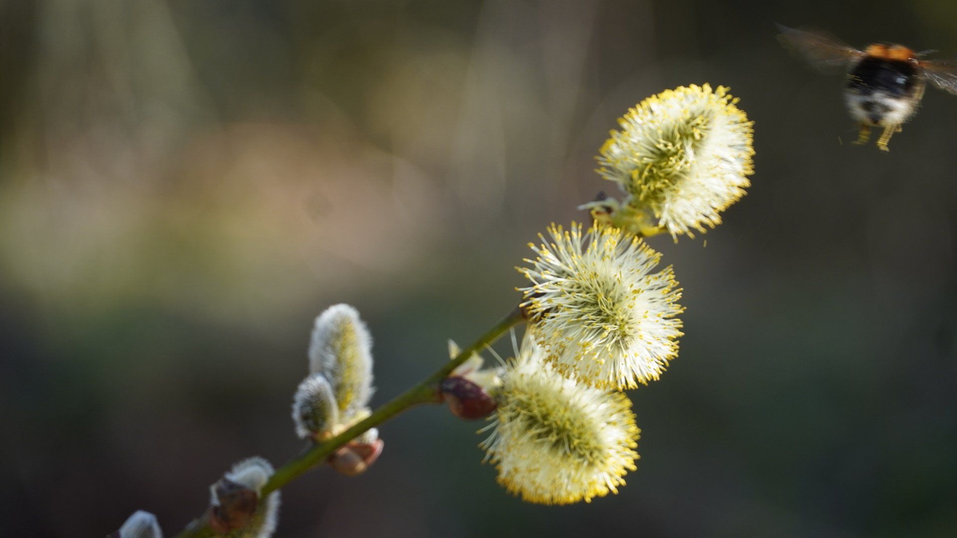
The first day’s walking took me from the village of Strathblane at the foot of the Campsie Fells, along the John Muir Way to link up with the northbound route of the West Highland Way heading towards Loch Lomond. The track meandered across the fells through ancient oak woods, past wayside blackthorns in full bloom and pussy willows laden with soft yellow pollen-heavy catkins buzzing with early bumble bees, to reach Drymen in the early afternoon sunshine.
The following day I set out from Drymen, climbing northwards into an extensive forestry plantation high on the hillside overlooking the southern half of Loch Lomond. The hazy sunshine and stillness of the morning allowed me to enjoy the views out across the landscape as I left the lowlands behind and climbed Conic Hill, the heather moorlands filled with the sound of sky larks.
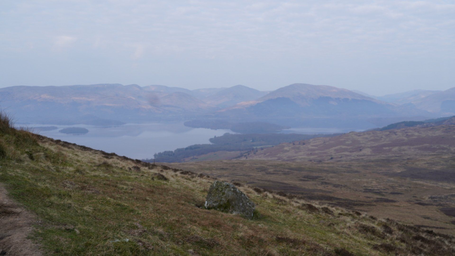
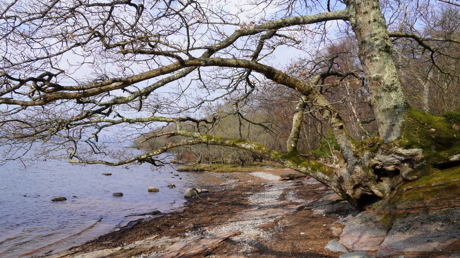
I reached the summit early so had the wonderful views over the islands of Loch Lomond to myself before descending the hill on its western flank, encountering a steady stream of day trippers struggling up the steep climb from the village of Balmaha. From there the route followed the eastern shore of the loch northwards through native woodlands, the tree roots exposed above the water’s edge and the trunks leaning precariously over the loch. The many twists and turns of the trail passed among birches and oaks bedecked with luxuriant lichens and mosses, strongly scented flowering gorse and larch trees just bursting into vivid green.
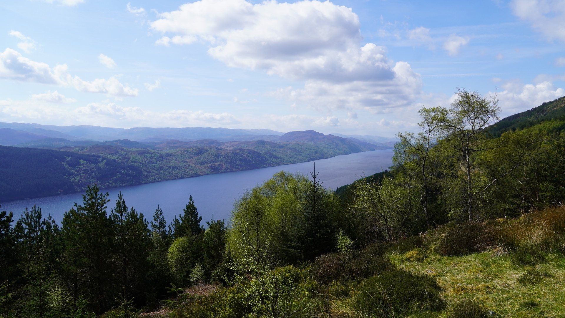
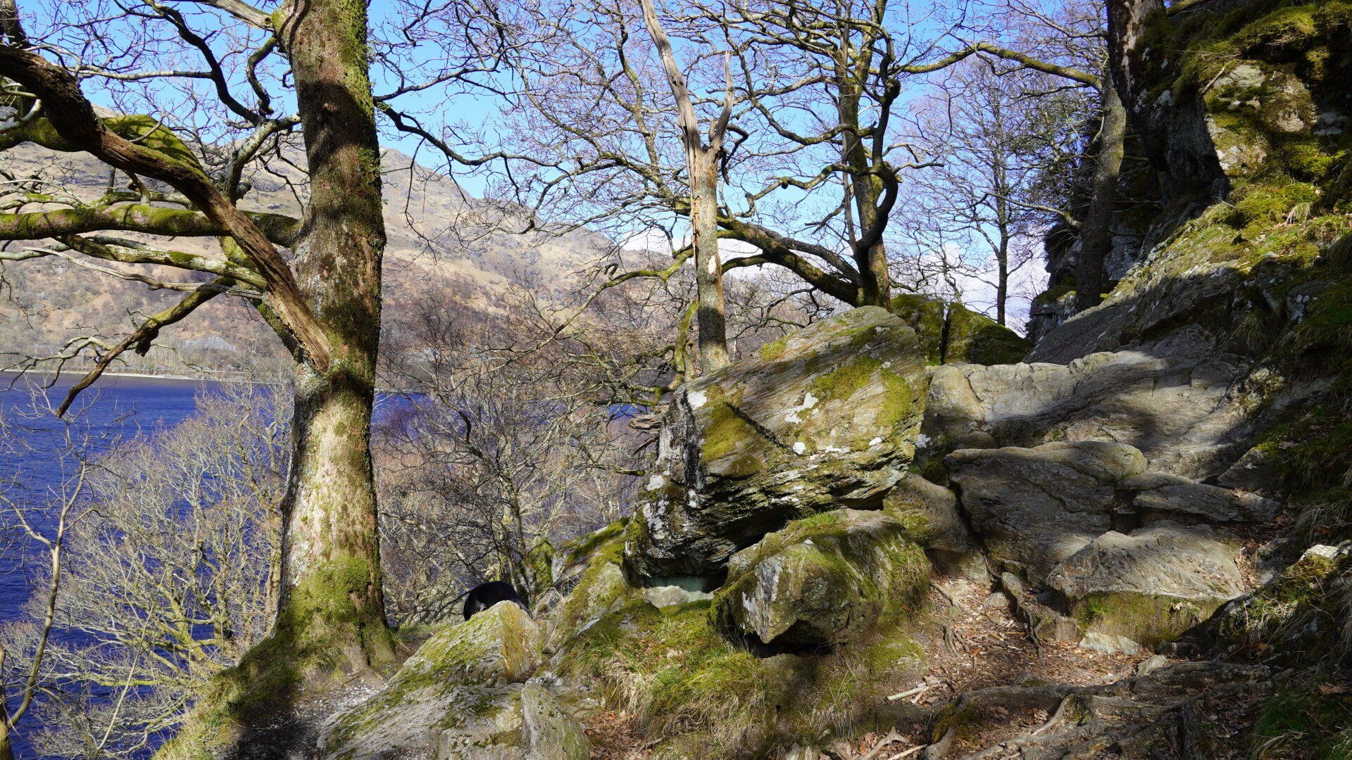
I set out from Rowardennan early the following morning, anticipating what is renowned to be the toughest section of the route, up the wild and remote north eastern shore of Loch Lomond. The air was freezing as I walked in the shadow of Ben Lomond with a chilly head wind from the north but the views across the loch to the sunlit mountains on the western shore were spectacular. My walk was accompanied by the constant sound of the lapping of the waves against the rocks and I didn’t encounter another soul until I reached the sunny, grassy foreshore at Inversnaid, where the river from Loch Arklet gushes into Loch Lomond. The challenge of the terrain also lived up to expectations as the route followed the steep and undulating rocky edges of the loch through ancient twisted oaks and I frequently had to resort to all fours to scramble over the rocks.
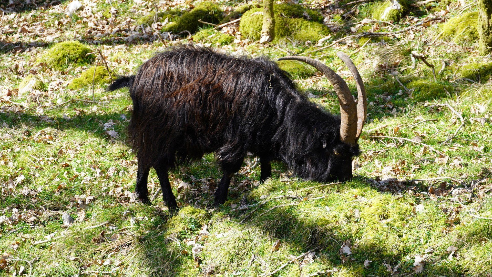
Eventually I emerged from the shadow of the mountains into the sunshine at the northern end of the loch and encountered several groups of hairy wild goats nibbling the early spring shoots along the shore. At the northern end of Loch Lomond the track rises up above the village of Ardlui with spectacular views down the loch and higher up still passes by peaceful lochans surrounded by tall whispering reeds.
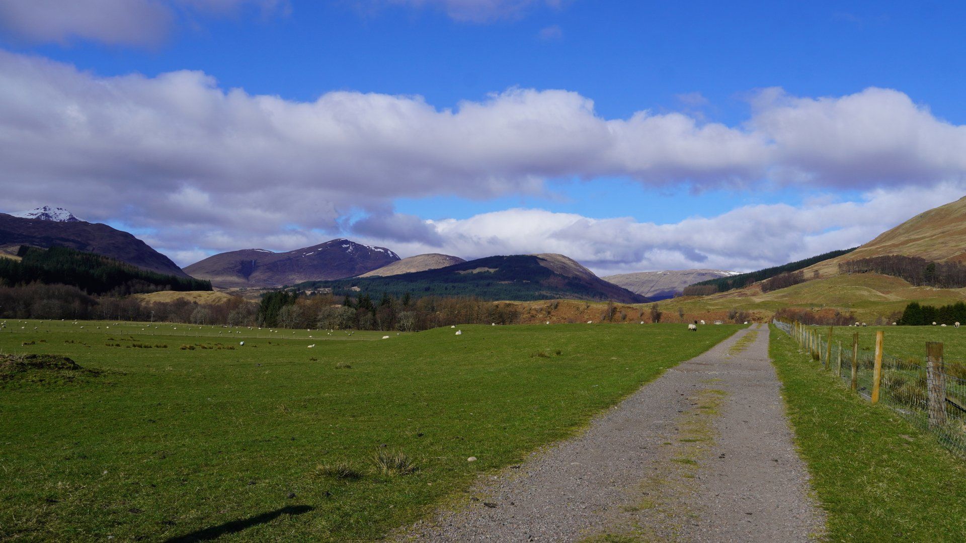
My longest day of walking (33km) started from Inverarnan the following morning, up the valley in frosty sunshine towards Crianlarich, alongside the tumbling waters of the River Falloch. Approaching Crianlarich the route climbs steeply, entering a forestry plantation before opening out to reveal far reaching views over the surrounding mountains and valleys. From there a descent into the wide green valley, populated by sheep with early lambs, towards Tyndrum, before climbing again to squeeze through the narrow pass alongside the railway line and main road to Fort William. The mountains became ever more imposing as the route followed the course of the old military road towards Bridge of Orchy, finally arriving at my stop for the night in a snow flurry.
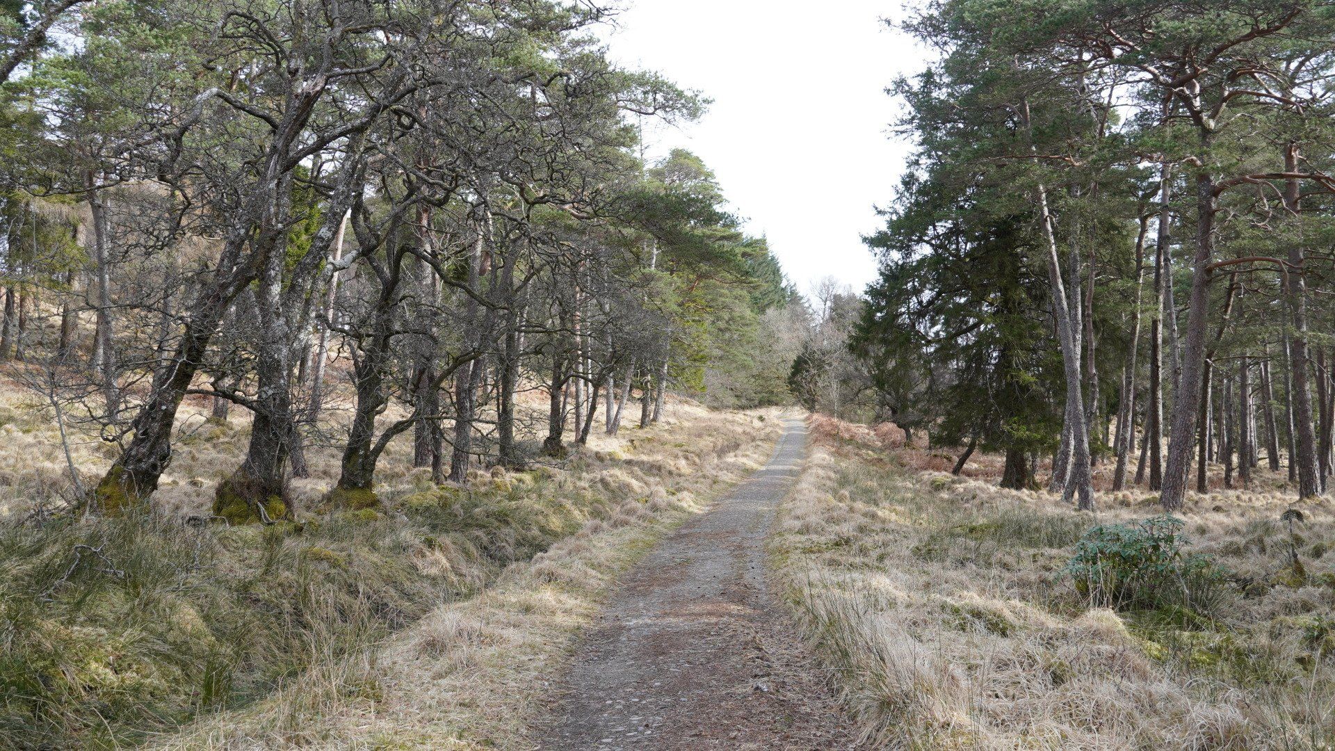
Another sunny and chilly start the following morning as I crossed over the beautiful, rocky River Orchy, passing into the forestry plantation for a climb up to the moorland with spectacular views over Loch Tulla and its glen, the land rising beyond towards the Ben Nevis and Glen Coe mountains. Loch Tulla is surrounded by mature native Scots Pines and the valley feels wonderfully peaceful and unspoilt. From the head of the loch and the entrance to the Black Mount estate, the route follows a “Parliamentary Road” – one of Telford’s amazing works of engineering that allowed the Highlands to become more accessible in the early 1800s. The road is in remarkably good condition considering it hasn't been used as a public highway since 1933 and rises out of the glen and contours around the edges of the high mountains above Rannoch Moor.
This part of the route feels very remote and exposed and although the weather was initially good, by early afternoon the clouds had closed in and I watched snow showers scudding across the wide expanse of Rannoch Moor below me before descending to Kingshouse at the north western edge of the Moor.
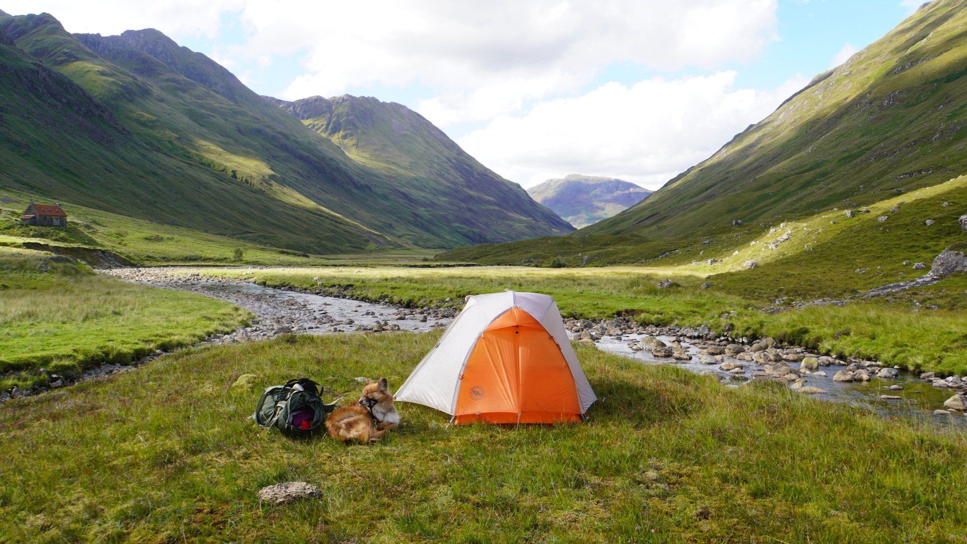
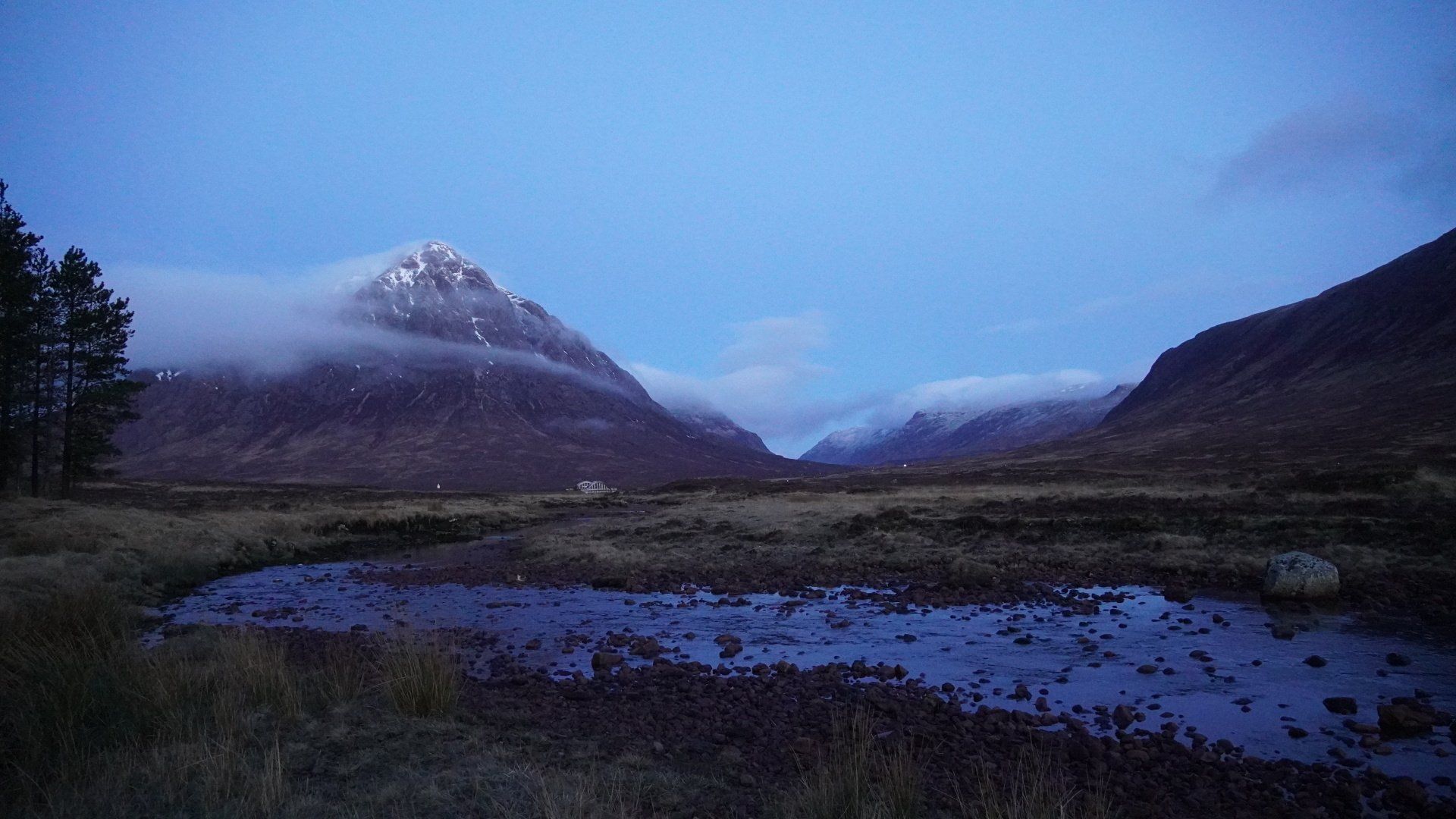
I spent an extra day on Rannoch Moor, enjoying the tranquility and spellbinding mountains - a highlight was watching the light edge slowly across the Moor in the very early morning, wisps of cloud hugging Buachaille Etive Mor. It’s a place I’ve passed through many times before but I feel priviledged to have now walked across the vast area rather than just rushing by on the busy A82 - it remains magical and awe inspiring in all weathers.
Well rested the following morning I tackled the “Devil’s Staircase”, rising out of the eastern end of Glen Coe northwards towards Kinlochleven with wonderful views back over the valley and surrounding mountains.
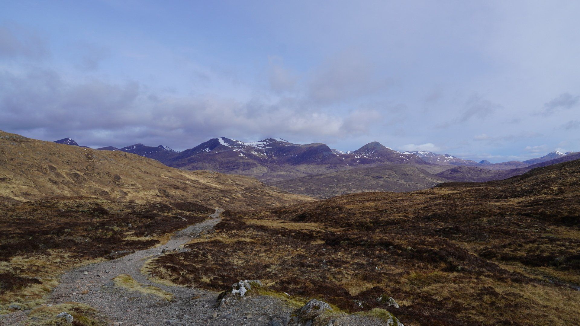
From the summit the route wound round the side of the mountain, overlooking the Ben Nevis range and Blackwater Reservoir before descending into Kinlochleven. When I arrived in the village it was a bit of a shock to the system after spending 6 days in the quiet hills as the pub was crowded with rowdy football fans watching the “Old Firm” derby match between Rangers and Celtic!
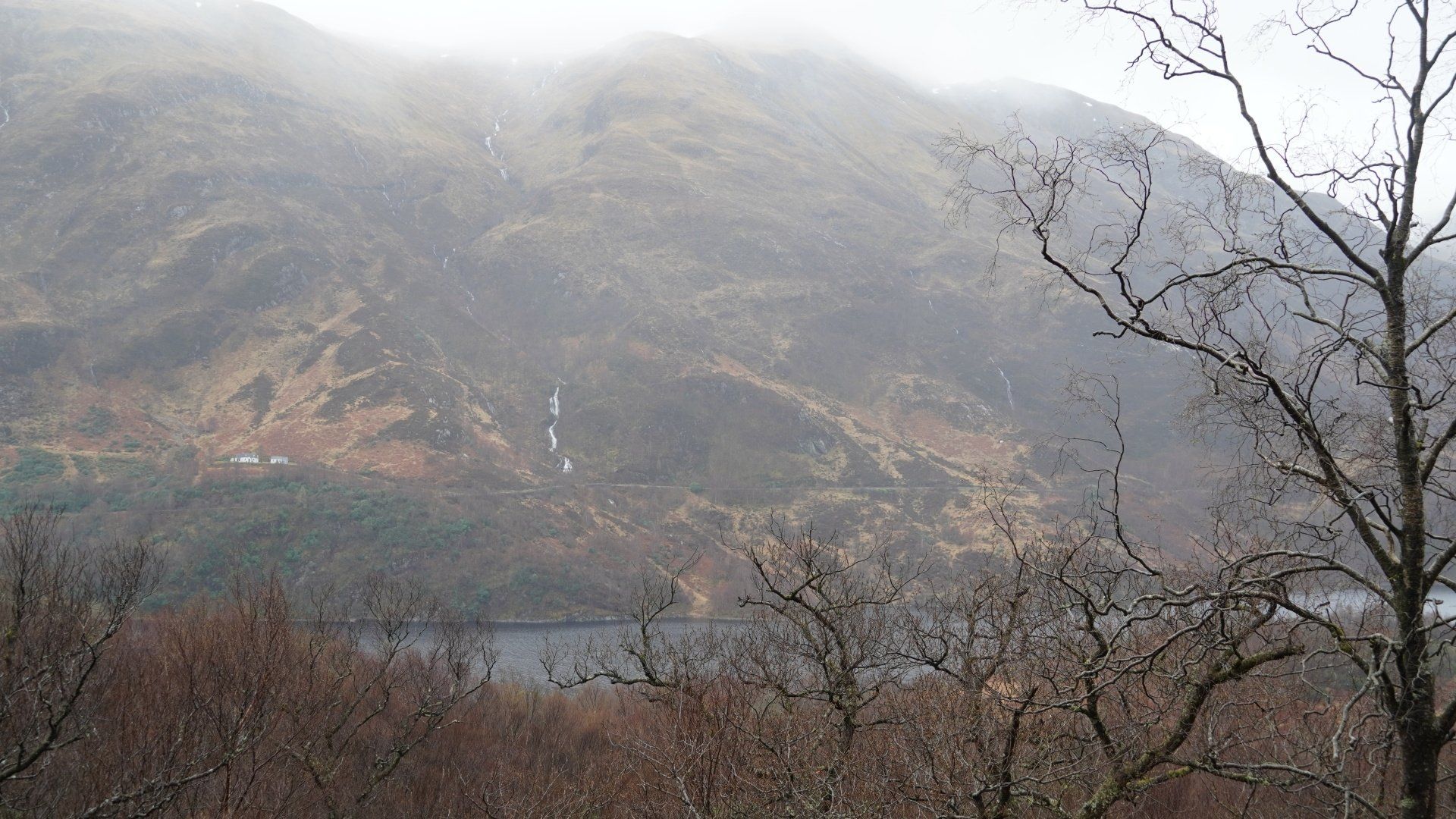
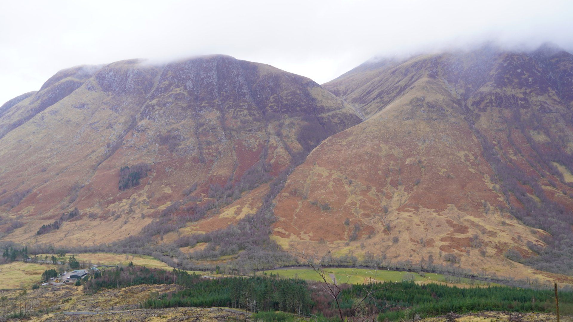
My final day walking was marked by a decided change in the weather and my first wet start after a week of sunshine. The climb out of Kinlochleven was steep and challenging due to the now gushing torrents of water but the views into the valley remained spectacular. From the top of the pass the route followed a remote, high valley all the way down to Fort William, eventually reaching Glen Nevis with the imposing flanks of Ben Nevis across the valley. Unfortunately the summit was shrouded in low cloud but hopefully the next stage of my walk, which I’ll start from Fort William next month, will allow me another peek at the highest mountain in the UK.
